
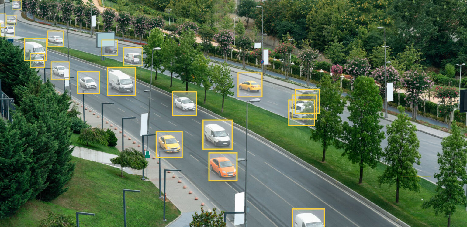
During active incidents and crimes in progress, law enforcement agencies often depend on multiple sources of information to understand what is happening in the field. Body-worn cameras, license plate recognition systems, drones, GPS-enabled devices, and AI-supported systems can all contribute to situational awareness in different ways.
However, access to more information does not automatically create a clearer response. Dispatchers and first responders still need that information to be reviewed, prioritized, and shared quickly as conditions change. Without a unified way to manage incoming data, critical details can become scattered across separate systems, making it harder for personnel to coordinate effectively and protect the community.
Key Takeaways
- Multi-Layered Visibility: Modern law enforcement tools such as body-worn cameras, LPR systems, and police drones work together to build a comprehensive operational picture.
- Information Gaps Remain: These tools can support visibility, but they do not automatically make information reviewed, prioritized, or actionable for dispatchers and field personnel.
- Human Review Matters: AI tools can help identify potentially critical events, but trained personnel remain essential for reviewing and validating information before escalation.
- Field Coordination Depends on Sharing: Information becomes more useful when it is organized and shared in ways that support dispatchers and field units during evolving incidents.
Why Situational Awareness Matters During Active Incidents
During critical events, law enforcement teams need more than individual data points. They need a clear understanding of what is happening, where activity is occurring, and how conditions may be changing. True situational awareness helps dispatchers and field personnel interpret evolving incidents with greater context, allowing everyone involved to make safer and more informed decisions.
Modern law enforcement response tools can support that awareness by providing video, vehicle observations, aerial views, location data, and automated alerts. When an active incident unfolds, having access to these varied data streams gives supervisors and operators the baseline visibility they need to assess a scene accurately. Knowing the layout of an environment or the precise location of an asset before personnel arrive fundamentally changes how an incident is managed.
The challenge is that information from these real-time crime intelligence tools is often spread across different systems and workflows. Without review, prioritization, and clear sharing processes, useful data can remain disconnected from the people making decisions in the heat of the moment. To achieve true operational visibility, the focus must eventually shift from simply collecting data to finding a structured way to pass that context to the field.
Body-Worn Cameras in Modern Police Response
Once viewed strictly as tools for accountability, body-worn cameras have become foundational police technology used by agencies to capture events from an officer’s point of view. According to industry insights by Deloitte on public safety innovations, harnessing these digital assets is a primary driver in capturing objective evidence in the field. Rather than just recording footage for post-incident review, modern variations of these devices offer live-streaming options to capture live interactions.
These cameras provide critical field-level audio and video context directly from the scene. When active, they deliver an immediate visual record of suspect behavior, environmental conditions, and local hazards as they unfold. This visual telemetry gives supervisors a direct window into an active incident, reducing reliance on voice-only descriptions during stressful moments.
At the same time, body-worn cameras have limitations when it comes to field coordination. While they capture excellent individual perspectives, the video stream remains confined to an isolated platform. Authorized personnel must manually log into a specific software system to view the footage, meaning this valuable visual context is not inherently linked to the broader dispatch workflow or available across all field assets simultaneously.
LPR Systems in Active Investigations
When an active incident involves vehicle tracking, license plate recognition systems provide highly automated data points. This specialized LPR technology assists law enforcement by instantly scanning license plates against localized or national databases, removing the need for manual data entry during high-speed tracking scenarios.
This system provides concrete alphanumeric data, vehicle makes, and directional vectors tied to a specific timestamp and camera location. Instead of forcing dispatchers to rely on vague witness descriptions regarding a vehicle’s color or body style, LPR networks deliver verified objective parameters, establishing a definitive direction of travel at a specific moment in time.
However, LPR systems do not provide continuous vehicle tracking or automatic, cross-agency intelligence sharing on their own. They only log data when a vehicle physically passes a stationary or mobile sensor. Because this information is collected and stored within a standalone database, it remains separated from real-time dispatch systems, requiring operators to actively look up data rather than having it automatically populate within their active workspace.
Police Drones and Real-Time Awareness
Unmanned aerial systems, or police drones, have become popular officer safety tools for surveying challenging environments. Drone technology for law enforcement provides an immediate aerial view, bypassing geographical obstacles and heavy traffic that challenge ground units, allowing departments to survey an area before ground assets move in.
Drones provide valuable overhead visual data, real-time perimeter mapping, and structural visibility during evolving public safety operations. This bird’s-eye view can reveal hidden variables, such as a suspect moving behind a wall or a hazard on a rooftop, which would be entirely invisible to ground personnel.
Despite these clear advantages, police drones do not create full operational visibility on their own. A drone feed is simply a standalone video source managed by a remote pilot. The aerial video does not inherently coordinate field assets, nor does it automatically share its data with the broader communications network. Without an integrated delivery system, this overhead perspective stays trapped on the pilot’s monitor instead of guiding the wider team.
AI Tools in Real-Time Law Enforcement Response
The proliferation of digital sensors means that modern security environments generate more data than human eyes can monitor simultaneously. This is where AI tools play a vital role in law enforcement operations. Through advanced computer vision and behavioral algorithms, artificial intelligence (AI) excels at processing vast data streams to flag anomalies that might otherwise go unnoticed.
As noted in Peregrine’s analysis of modern law enforcement technologies, intentional AI solutions are highly effective at tagging unstructured data and reducing clutter. These AI tools for police act as an early-warning mechanism for incident detection, providing automated alerts regarding unusual patterns, vehicle profiles, or sudden perimeter sensor triggers across a designated boundary.
Even with that value, the technology has clear boundaries: AI detects, but humans decide. These tools do not automatically deliver verified intelligence, as they are prone to false positives that can clutter communications. Professional judgment remains essential to evaluate automated flags and determine their operational relevance. Without human verification to translate raw alerts into verified data, AI tools risk overwhelming dispatchers with unconfirmed noise rather than useful information.
Mobile Intelligence Sharing for Coordination in the Field
Gathering information at a central command station is only half the battle; that data must reach the tactical edge where decisions are made. Mobile intelligence platforms address this operational need by establishing field intelligence-sharing mechanisms. Through secure law enforcement communication tools, field personnel can move away from voice-congested radio channels and access visual data directly from their vehicles or mobile devices.
When working within a functional loop, these applications allow field units to view active maps, suspect photos, and live asset telemetry. This level of real-time intelligence sharing improves field coordination during fast-moving events by delivering several key operational benefits:
- Unified Operational View: Officers on a perimeter can share the same map coordinates, minimizing confusion during high-stress scenarios.
- Reduced Radio Congestion: Critical data can be delivered visually, keeping voice channels clear for urgent tactical commands.
- Instant Visual Updates: Photos, descriptions, and location coordinates update dynamically as an incident changes.
For these tools to be effective, the information reaching them must be verified, relevant, and delivered through trusted workflows. The missing piece in modern response is not the mobile device itself; rather, it is the pathway that ensures the right intelligence reaches dispatch and field personnel with context and control.
Without a secure pathway, mobile screens simply become another fragmented data source for an officer to manage. DirectToDispatch™ fills this specific gap by routing verified, confirmed threat events directly into the existing police dispatch software. This delivery mechanism ensures that police dispatcher coordination with field units remains uninterrupted, pushing clean data right alongside standard dispatch notes to maximize safety.
Building Better Operational Visibility During Active Incidents
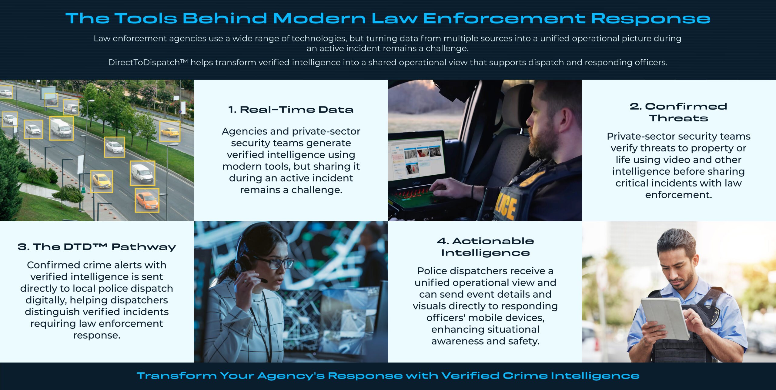
Each law enforcement tool contributes valuable intelligence, but no single tool provides the full operational picture on its own. True operational visibility depends on how information is reviewed, prioritized, and shared with dispatchers, supervisors, and field personnel during evolving incidents. In some cases, relevant intelligence may also exist outside police-owned systems, creating a need for trusted workflows that can bring verified information into the dispatch environment.
| Technology Tool | Information Generated | Operational Consideration / Additional Context Needed |
|---|---|---|
| Body-Worn Cameras | Field-level audio and close-up video context. | Information must be reviewed, flagged, and made usable within active dispatch screens. |
| LPR Systems | Alphanumeric plate data and localized directional vectors. | Data must be cross-referenced with active alerts and pushed to the field without manual queries. |
| Police Drones | Overhead visual telemetry and perimeter mapping. | Visual feeds must be distributed beyond the pilot to the wider command structure seamlessly. |
| AI & Sensor Tools | Early incident detection and automated anomaly flags. | Alerts require immediate human verification to eliminate false positives and clarify threats. |
Successfully managing an active threat requires an environment where data is accessible, verified, and practical. Modern law enforcement technology should support existing workflows without creating an unnecessary administrative burden or requiring agencies to overhaul trusted systems. When an incident occurs, a police response technology ecosystem should never force dispatchers to manually copy, paste, or juggle data across multiple disconnected screens, as these friction points disrupt focus when coordination is most critical.
Instead, technological tools must complement existing infrastructure. By focusing on workflow compatibility, specialized public safety tools allow dispatchers to view critical locations, asset coordinates, and verified incident descriptions within familiar workflows.
Still, police-owned tools may not capture every relevant detail during an incident. Some of the missing context may come from private-sector security technologies, such as cameras, alarms, GPS tracking, or verified observations from security personnel. DirectToDispatch™ helps complete that picture by delivering dispatch-ready intelligence to law enforcement dispatch while preserving existing workflows, agency authority, and organizational control.
Conclusion
Modern public safety systems, such as body-worn cameras, license plate recognition systems, police drones, GPS-enabled devices, and AI-supported platforms, contribute valuable information during active incidents. These technologies can significantly support situational awareness, but they do not create true operational visibility on their own. Their ultimate value depends on how information is reviewed, prioritized, and shared during an active law enforcement response.
Adopting these advancements is not about replacing the human element of public safety, nor is it about overhauling standard dispatch workflows. Instead, deliberate technology adoption focuses on making information usable for the people responsible for coordinating response. When information is properly organized and validated, it supports personnel safety and clarifies complex environments.
This is also where verified intelligence from outside police-owned systems can help complete the picture. DirectToDispatch™ provides a trusted pathway for delivering dispatch-ready intelligence to law enforcement dispatch, while preserving existing workflows, agency authority, and organizational control.
FAQ
What are the primary law enforcement tools used for situational awareness during active incidents?
Modern departments utilize a diverse mix of police technology to build comprehensive operational visibility. Key law enforcement tools include body-worn cameras for close-up field perspective, LPR technology for automated vehicle tracking, and police drones for aerial reconnaissance.
How do AI tools assist monitoring teams during an emergency response?
AI tools automatically analyze massive volumes of video and sensor data to flag unusual activity or pinpoint specific target parameters. This allows human monitoring teams to identify potential emergencies much faster, though human verification remains essential to filter out false alerts before passing data to dispatch.
Why is tracking GPS location critical in modern policing?
Accurate GPS location data allows dispatchers and field supervisors to monitor the exact positioning of field units and assets. This spatial awareness improves officer safety and ensures tactical teams are coordinated efficiently during evolving emergencies.

 Keith Deaton
 Jason Lockett
 Charlie Erickson
 Joseph Courtesis